
Hydrogeological / Geophysical Survey
A Hydrogeological and Geophysical Survey is the critical first step in any successful water well drilling project. At NASSA DRILLING & GENERAL SUPPLY LTD, we offer scientifically-driven subsurface investigations to identify optimal borehole locations, assess groundwater potential, and reduce the risk of dry or low-yield wells.
Our survey approach combines hydrogeological expertise with advanced geophysical techniques to provide a detailed understanding of underground water-bearing formations, soil and rock layers, and aquifer characteristics.
Objectives of the Survey
- Identify suitable locations for borehole drilling
- Determine the depth and thickness of aquifers
- Estimate potential yield and recharge rates
- Map subsurface geological structures (faults, fractures, dykes, etc.)
- Minimize the risk of dry or failed boreholes
- Support sustainable groundwater extraction planning
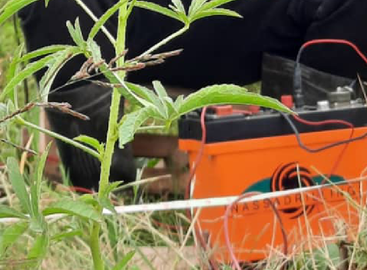
Survey Methods & Technology
Our team uses a combination of proven geophysical and hydrogeological techniques:
- Vertical Electrical Sounding (VES)
- Measures resistivity of subsurface layers
- Determines depth and nature of water-bearing strata
- Effective for locating aquifers in sedimentary and basement terrains
- Electromagnetic (EM) Profiling
- Detects lateral changes in subsurface conductivity
- Useful for identifying faults, fractures, and buried water channels
- Ground Penetrating Radar (GPR) (optional, depending on site geology)
- High-resolution shallow subsurface imaging
- Ideal for identifying shallow aquifers or utilities
- Hydrogeological Site Assessment
- Reviews rainfall data, topography, vegetation, and existing boreholes
- Assesses recharge potential and long-term sustainability
- Guides drilling depth and casing recommendations
Scope of Work
- Pre-Survey Site Assessment
- Review client needs and site history
- Evaluate accessibility and suitability of proposed areas
- Field Survey Execution
- Use GPS and geophysical instruments to conduct surveys
- Carry out multiple sounding points for accuracy
- Data Analysis & Interpretation
- Process data using modeling software (e.g., RES2DINV, IPI2Win)
- Interpret geoelectric layers and aquifer potential
- Reporting & Recommendations
- Provide a full technical report with interpreted data
- Suggest ideal drilling location(s), expected depth, and yield
- Include borehole design recommendations (casing, screen depth, etc.)
Deliverables
- Detailed Hydrogeological & Geophysical Report
- Borehole Siting Map with GPS coordinates
- Vertical Sectional Diagrams of subsurface profiles
- Recommendations for drilling depth, casing, and pump capacity
- Consultation for any post-survey technical inquiries
Industries & Clients Served
- Government & NGO Water Projects
- Agricultural Irrigation Schemes
- Schools, Health Centers & Community Facilities
- Private Estates & Farms
- Industrial Plants & Mining Sites
Why Choose NASSA for Your Survey?
✅ Licensed Experts – Qualified hydrogeologists and geophysicists
✅ Modern Equipment – Reliable resistivity meters and EM tools
✅ Data-Driven Precision – Scientific decision-making for cost-effective drilling
✅ Local Terrain Expertise – Experience across various Tanzanian regions
✅ End-to-End Support – From site survey to drilling and pump installation